ERA5 Single-Date 2-metre Temperature Map Generator
A downloadable Tool
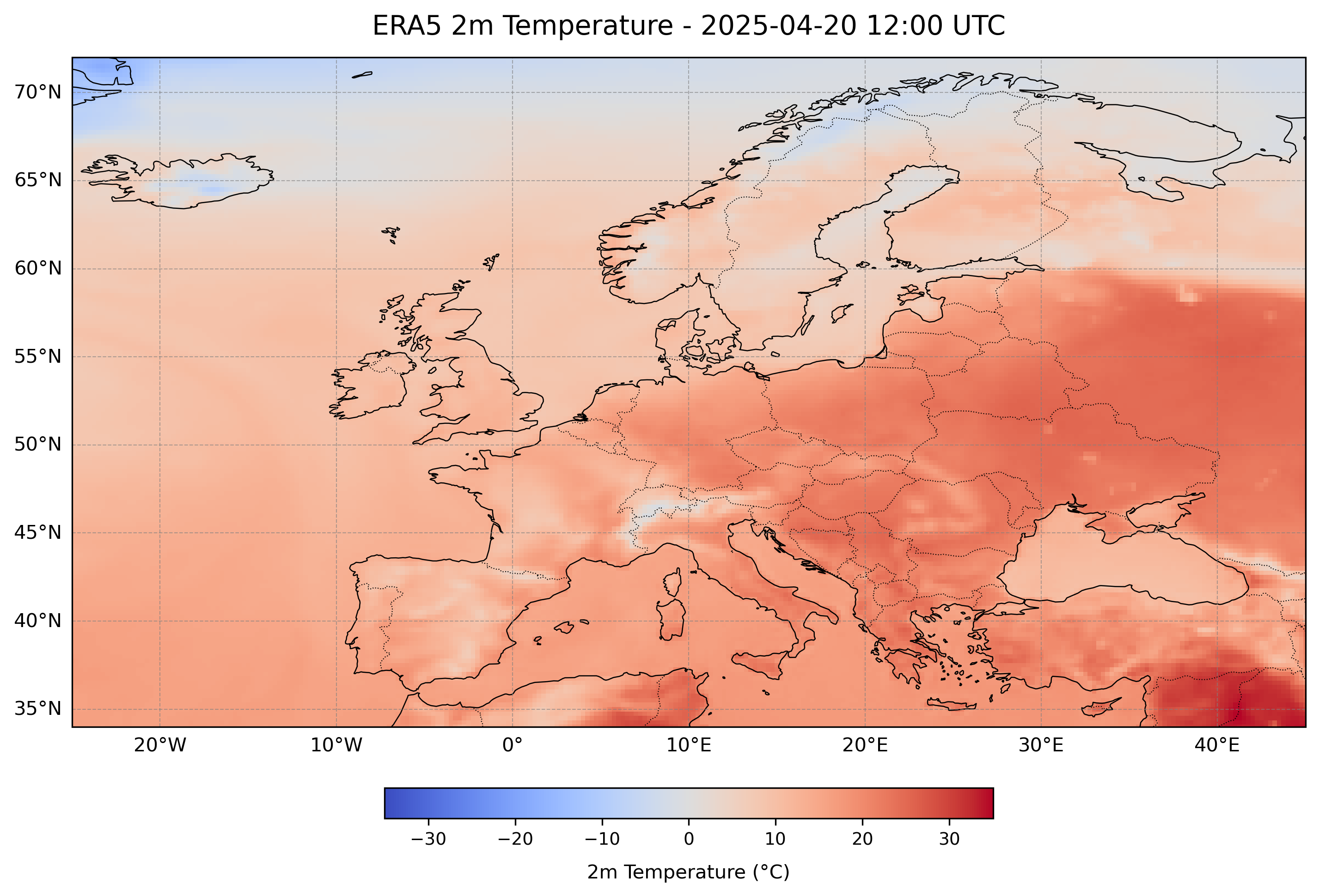
This Python script generates publication-ready maps of ERA5 2-metre temperature (t2m) for a custom region and date/time.
Perfect for researchers, educators, weather enthusiasts and students who need to visualize ERA5 data without using complex GIS software.
Key features:
– Input: ERA5 hourly NetCDF file with t2m variable
– Choose any region (lat/lon) and time
– Automatic map style, legend, and export to PNG & PDF
– Easy configuration in Python 3 (xarray, matplotlib, cartopy)
Package includes:
– Map_era5_t2m_region_plot_single_hourly.py – Main script.
- Eur_ERA5_t2m_20250420.nc – Sample NetCDF file for testing.
- Readme.pdf
- License.txt – Commercial license agreement.
Purchase
In order to download this Tool you must purchase it at or above the minimum price of $9.99 USD. You will get access to the following files:
Leave a comment
Log in with itch.io to leave a comment.